That little unknown-to-me tool that I showed last week? Roy Rutherford guessed it might be a shoehorn? I just don’t know. But Patty Olsen suggested I retake and re-post a photo of it opened. Will do.
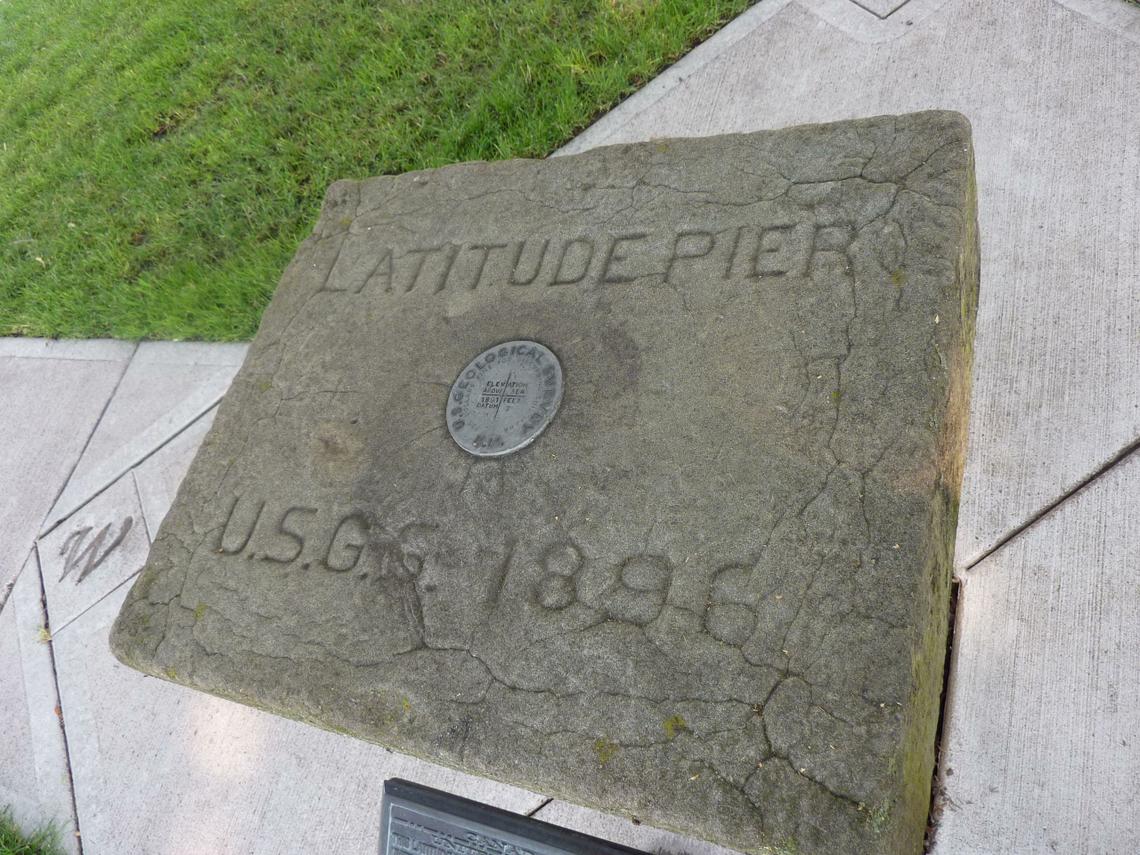
Below is a photo of what was a mystery. This small concrete marker sat in a corner of the grounds of the Spokane County courthouse, ignored and mostly forgotten. Then Stefanie Pettit, who does the Landmarks features for our paper, The Spokesman-Review, zoomed in on it and told us all about it.
It’s called the Latitude Pier; it was originally built in 1896 “and it soon became the starting point of a project to establish the precise border between Idaho and Montana along the 39th parallel.”
“An 1897 USCGS contract called for identifying the 39th parallel , the (north-south) border between Idaho and Montana, and establishing where the (east-west) meridian intersects with it, from the Canadian border .”
But why start this marking in Spokane? The crew chief in charge at the time had the right to pick the starting spot and he picked Spokane.
You do realize that these official government measurements of so long ago still impact our buying and selling of land today??